Explore Page > Airspaces > Tap the map
If you quickly want to look at airspaces for a region that you want to go fly in, or for planning purposes, you can use the built-in Airspace Viewer to see all the airspaces in an area. To open the airspace viewer you can go to Explore > Airspaces > Tap the map.
For pilots in the USA, you also have the option of viewing the sectional charts by tapping the sectional map view displayed in the bottom left corner of the map where the preview of the sectional charts are displayed. This will open the sectional charts for the area you are currently viewing.

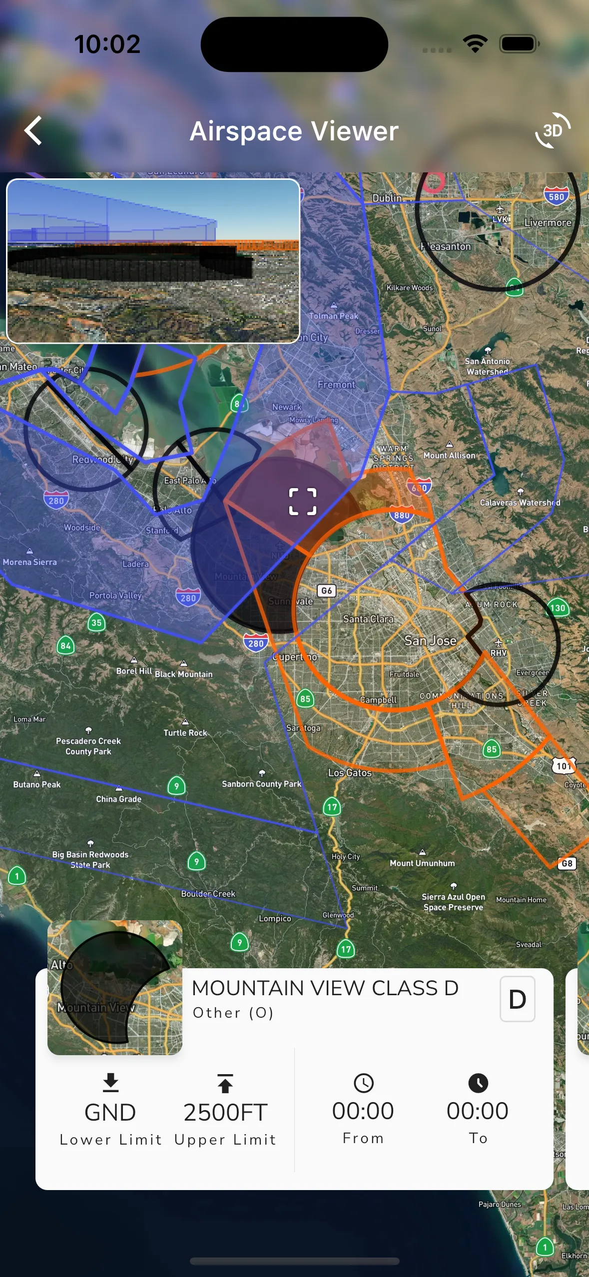
The airspace viewer displays all the airspaces currently visible under the cross-hairs on the map, and it also gives high level details about each airspace such as:
Tap anywhere on the map to see the airspaces that are visible under the cross-hairs. You can also slide the airspace slider at the bottom of the page to see airspaces that are higher from the selected one.
For members on the Adventurer plan, a 3D viewer is also displayed in the top left corner circling the active airspace. This 3D viewer can be used to get a better understanding of the airspace and how it is shaped.

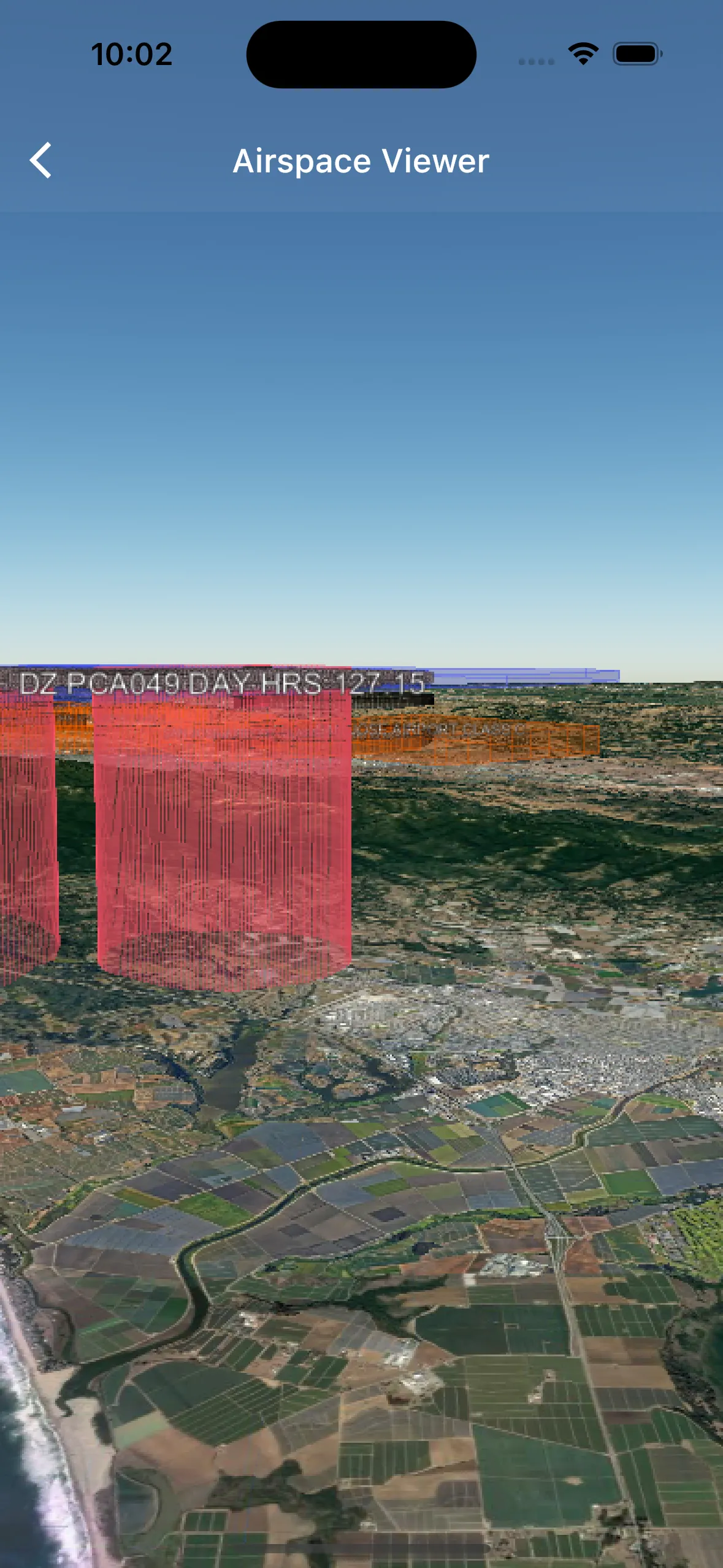
Open the viewer by tapping the “3D” button in the top right corner of the viewer. This will open the 3D viewer and display the airspace in 3D. You can then use the 3D viewer to rotate the airspace and get a better understanding of the airspaces in an area. Zooming into a specific airspace will show the upper and lower limits as labels on the edge of the airspace.