
Written by: Hennie Brink on Oct 3, 2024
Reading paragliding weather means putting several pieces together: wind and gusts, the terrain around your site, conditions above launch, and how the day is expected to develop. A sunny icon or a single wind speed leaves much of that picture out.
This guide explains what to look for in a forecast and why conditions at a flying site can differ from the model. Use it to build your weather understanding alongside training and local briefings; if you are learning, work through the forecast with your instructor.
Wind speed usually describes an average over a period. Gusts describe brief increases, so the average alone can hide substantial variation. Check both, along with changes through the hours you are considering.
Confirm the units and the height represented by each value before comparing forecasts. Different products can use different averaging periods. Two forecasts with the same average wind can describe quite different days if one shows larger gusts or a change in direction.
Wind direction conventionally names where the air comes from: a westerly comes from the west. Arrows need their legend checked because displays can represent direction differently. The Met Office explains both the measurement conventions and how obstacles affect readings in its guide to measuring wind.
Suitable wind limits depend on the site, wing, gusts and direction, as well as your experience and recent flying practice. Discuss appropriate limits with your instructor and consult the site’s current guidance.
A forecast point cannot describe every part of a hillside. Airflow changes as it meets ridges, valleys and passes: it can turn, accelerate, rise or descend. Trees, buildings and uneven ground can disturb it further.
The sheltered place where you check the wind may tell a different story from an exposed launch or landing area. The NWS describes these effects in its flight-environment guide.
Heating adds another influence. Sun-warmed slopes can develop upslope flows, while cooling can produce downslope flows.
At a coast, temperature differences between land and water can drive a sea breeze. These local circulations help explain why the wind can change during a day even when the broad forecast looks similar. Met Office: types of wind.
Use a local briefing to understand how these processes affect that particular site. A general forecast is not a substitute for knowing which terrain lies upwind.
Surface conditions are only one layer. Wind shear means a change in wind speed or direction over distance; a vertical forecast helps reveal changes with height. Shear and airflow around obstacles can produce turbulence. NWS: turbulence.
Check whether a chart expresses height above ground, altitude above sea level or pressure levels. For example, a level marked 1,500 metres above sea level is only 300 metres above a launch at 1,200 metres. A chart showing 1,500 metres above ground refers to a very different layer.
Read the profile together with the terrain. A weaker-wind band is not automatically a suitable flying altitude, and descending is not a general solution to stronger winds: terrain and turbulence still matter.
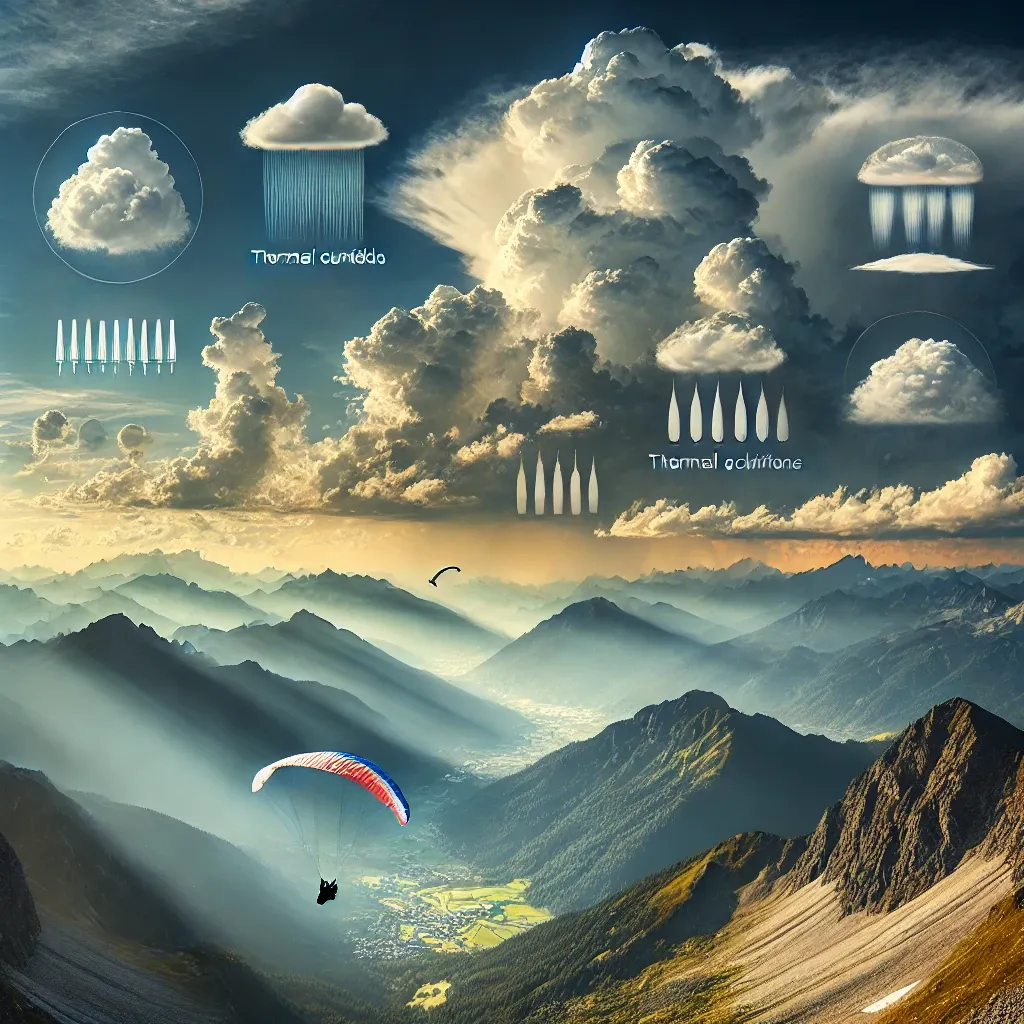
Thermals are rising currents associated with surface heating. They can provide lift for soaring and also contribute to turbulence. Sunshine is therefore part of the weather story, rather than a promise of smooth air. NWS: thermal definition.
Atmospheric stability describes whether the surrounding air resists or encourages vertical displacement. A lifted parcel that remains warmer and less dense than its surroundings can keep rising; one that becomes colder and denser tends to sink back.
An inversion, where temperature increases with height, is a stable layer.
“Stable” does not mean “safe” or “windless.” Stable air crossing mountains can support mountain waves and associated hazards. The FAA Aviation Weather Handbook, chapters 13 and 16, explains both stability and mountain-wave formation.
Thermal-strength and instability forecasts need interpretation alongside wind, moisture and the day’s evolution. They are not measurements of the next patch of air your wing will encounter.
Small cumulus clouds can form as rising air cools and moisture condenses. Under suitable conditions they can grow into towering cumulus and cumulonimbus. A cloud’s name or appearance in one photograph cannot establish safe conditions; its development over time matters.
Low stratus and fog also matter because they can obscure terrain and reduce visibility. Met Office: low-level clouds.
Thunderstorms involve strong vertical air movements, and their downdrafts can spread outward along the ground as gust fronts. That outflow can travel away from the storm, so dry conditions at your location do not exclude storm-related wind hazards.
Review the surrounding region, not just the forecast square over launch. NWS: thunderstorm life cycle.
Thunderstorms and their outflows are hazards to avoid. Learn the applicable cloud-clearance requirements and weather-avoidance procedures through qualified instruction.
Models start with incomplete knowledge of the atmosphere and approximate how it behaves. Uncertainty generally grows with forecast lead time. Ensemble forecasts explore different plausible outcomes; comparing forecasts can reveal disagreement about wind, timing or the extent of a change. ECMWF: quantifying forecast uncertainty.
Agreement is useful context, but it is not proof that the forecast is correct—and it says nothing by itself about atmospheric stability.
Several forecasts can agree on unstable weather. Equally, a small spread cannot guarantee that a local hazard has been represented.
Higher-resolution models can represent terrain and some weather processes in more detail. That does not turn their output into an observation at launch. The Met Office’s explanation of numerical models describes the relationship between global and regional forecasts.
When comparing products, align their location, valid time, update time, units and height reference. If forecasts differ, identify what differs rather than choosing the most appealing one.
A useful review moves from the regional picture to the site:
If the forecast and observations disagree, identify the mismatch: is the wind arriving from a different direction, are gusts stronger, or is cloud developing earlier than expected? Bring those questions to the site briefing. Other pilots launching or an encouraging app label does not explain the difference.
In Gaggle, open a flying site to explore its weather information. Detailed site forecasts and Weather Alerts are part of Adventurer; alert delivery also depends on your site settings and usage. The Flying Sites help guide explains where to find the forecast and site information.
Use the hourly and multi-day views to compare how conditions develop. Treat a notification as a prompt to review the forecast, not confirmation that conditions are suitable. Forecast ratings and summaries likewise need to be checked against the underlying information and current conditions.
For the tools that report your position, altitude and climb during a flight, see our paragliding instruments guide. Use forecast information for the weather picture and instruments for what they measure, with the limits of each in mind.
Téléchargez Gaggle maintenant et commencez gratuitement !
Instruments de vol, rediffusions, amis, sites de vol, météo et plus encore à portée de main grâce à notre application conviviale.