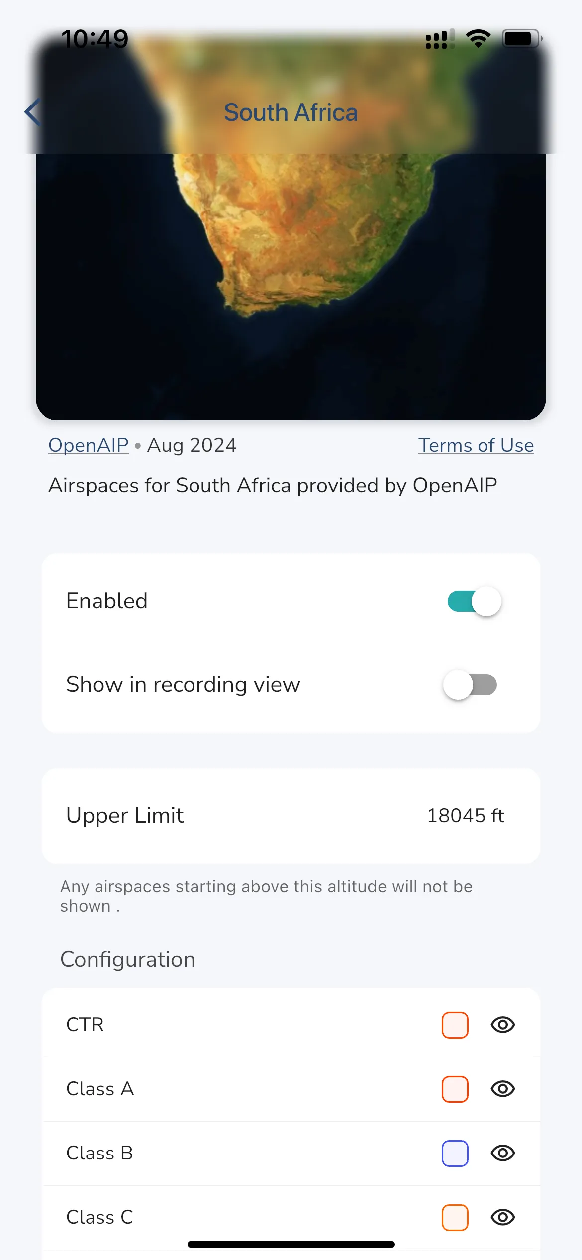
Explore Page > Airspaces > Tap your airspace to configure

You can configure how airspaces are displayed in Gaggle. Simply tap the airspace that has been installed to open the configurator for that airspace. From the configurator you can choose if the airspace collection should be used (enabled) or not, which airspaces classes are displayed, and the color that will be used to render each airspace class. If you want to see airspaces in the recording view tap the “Show in recording view” toggle to on.
You can define an upper limit for airspaces, any airspaces starting above this limit will not be displayed in Gaggle. This is useful if you want to hide airspaces that are above the altitude you are flying at, and it reduces the clutter on the map.
Tip: To see what your changes will look like open the Airspace Viewer to and browse around the map to see how the airspaces are rendered.