Explore Page > Points of Interest
Gaggle has a built-in database of points of interest that you can use to discover new places to see from the sky. Points of interest can also act as basic waypoint markers if you don’t want to create a specific route with a set of waypoints. While in flight you can tap on points of interest to add navigation waypoints to them.
The following point of interest categories are available:
You need an Adventurer subscription see public points of interest.

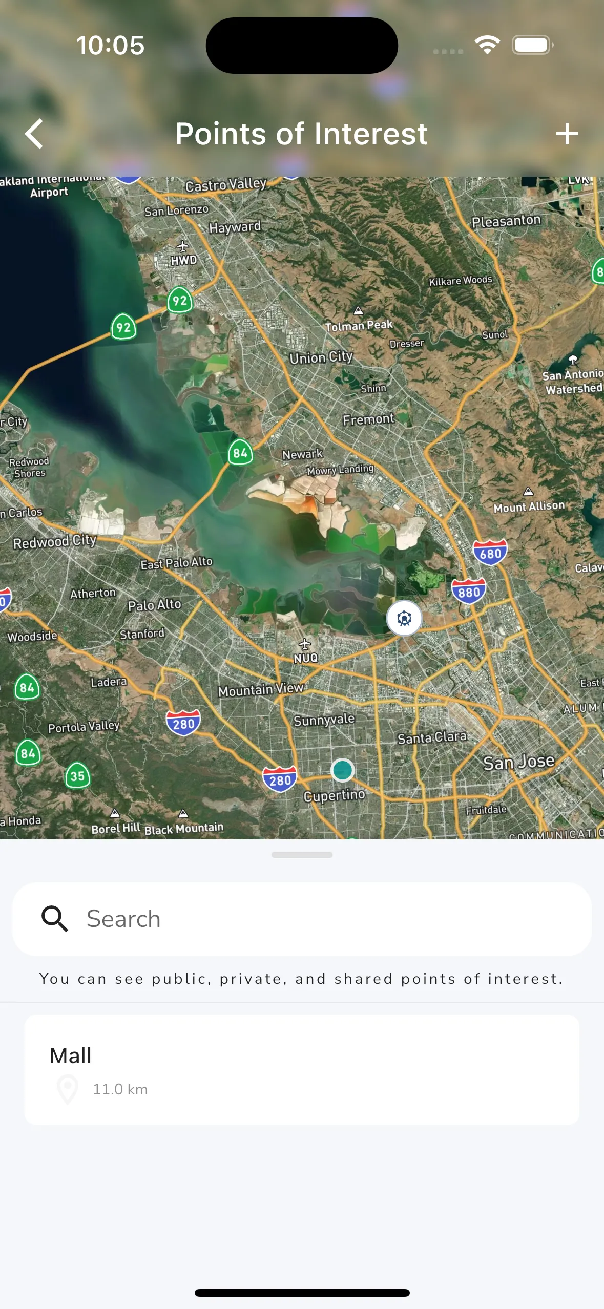
You can explore points of interest nearby by tapping the Points of Interest button on the Explore page. This will open up the points of interest map page. From here you can pan and zoom the map to find points of interest in the area you are interested in. You can tap on any of the points of interest on the map to open up the details page for that point of interest.
When panning the map a new “Search this area” button appears at the top of the map which you can tap to search for points of interest in the area you are currently viewing. At the bottom of the page is a panel that you can drag up to see a list of points of interest in the area you are currently viewing. You can tap on any of the points of interest in the list to open up the details page for that point of interest. You can also use the search box to search for points of interest in the area you are currently viewing.
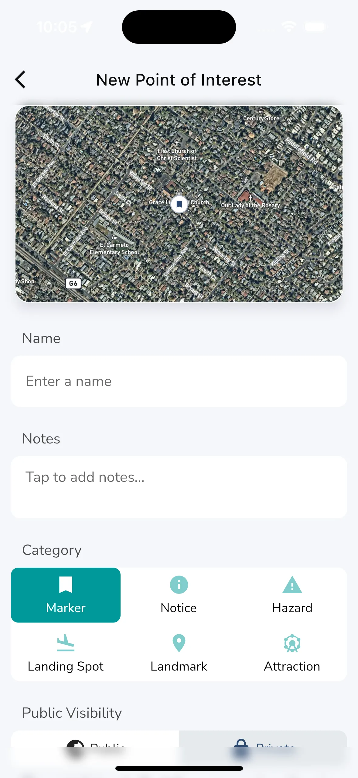
At the top right of the page is a + button that you can tap to create a new point of interest. This will open up a form where you can enter the details of the point of interest you want to add. When creating a new point of interest you have to choose the GPS location for the point of interest using the map, and then you can enter the rest of the details. The following is required when creating a point of interest:

To create a new point of interest you can tap on the + button at the top right of the points of interest map page. This will open up a form where you can enter the details of the point of interest you want to add. When creating a new point of interest you have to choose the GPS location for the point of interest using the map, and then you can enter the rest of the details. The following is required when creating a point of interest:

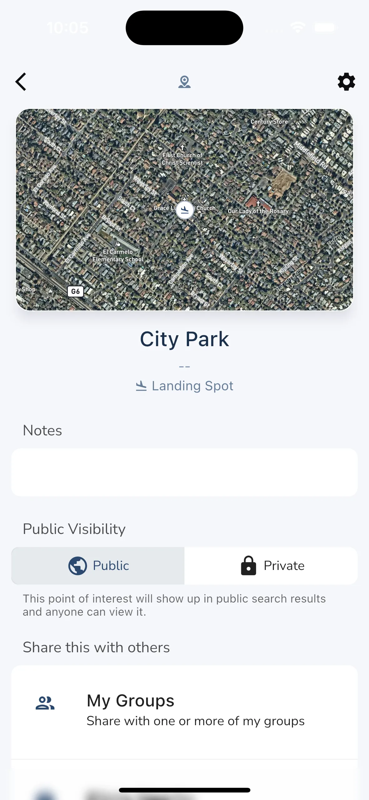
When viewing a point of interest you will see the following information:
Admins for points of interest can also see some basic settings for points of interest like public visibility and sharing options.